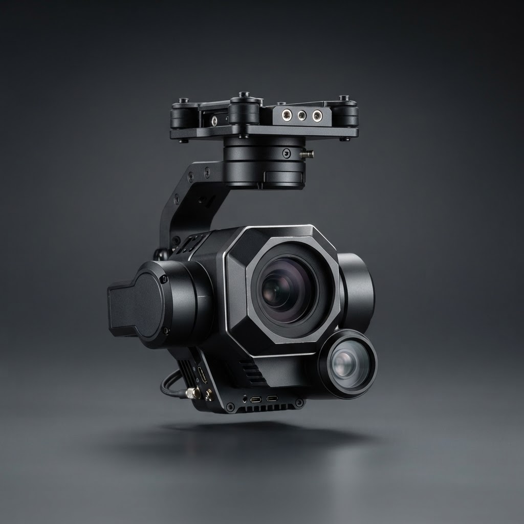
Lead: The primary reason to deploy an enterprise airframe with a thermal payload is mission capability. A single aircraft capable of conducting building envelope scans, electrical substation surveys, and nighttime public-safety missions reduces field time and improves operational efficiency.
What the platform has to do
- Carry a radiometric thermal sensor that records measurable temperature data across pixels (such as standard R-JPEG files), rather than merely displaying qualitative relative heat contrasts, as detailed by AEROMOTUS and DroneDeploy.
- Maintain stability in windy conditions to prevent motion blur and image smearing during inspection passes. For instance, platforms like the DJI Matrice 30 series are rated for wind resistance up to 12 m/s according to DJI Enterprise.
- Execute tested failsafe behaviors, including automated Return-to-Home (RTH) upon signal loss or low battery thresholds.
- Provide integrated or switchable optical zoom alongside thermal optics to record wide orientation contexts and narrow visual component details during the same flight without requiring risky close approaches, as highlighted by ABJ Drone Academy.
- Offer rapid field deployment, featuring foldable airframes or integrated multi-sensor payloads that can launch directly from a transport vehicle without extensive assembly.
Mission planning that produces usable data
- Define specific inspection objectives. Formulate explicit diagnostic targets before flight (e.g., assessing electrical distribution connections under load or pinpointing subsurface roof moisture) rather than gathering general unstructured footage.
- Calculate flight altitude from required Ground Sample Distance (GSD). Match your standoff distance and lens field of view to target dimensions so that critical anomalies cover sufficient detector pixels for valid measurement, as noted by ABJ Drone Academy.
- Incorporate proper image overlap. Plan automated grid passes with sufficient frontal and side overlap if you intend to reconstruct orthomosaic thermal maps using photogrammetry tools, as recommended by DroneDeploy.
- Capture co-registered visible-light reference frames. Acquire matching RGB images for each thermal capture to identify component serial numbers, physical corrosion, or mechanical damage, as outlined by AEROMOTUS.
- Standardize flight profiles across inspection cycles. Maintain identical waypoints, altitudes, and camera angles during repeat visits to ensure temperature data remains comparable over quarterly or annual audits.
Airworthiness and rules
Commercial operations in the United States require compliance with FAA Part 107 Regulations, including keeping aircraft registration current, broadcasting Remote ID, maintaining visual line of sight, and verifying airspace authorizations and Temporary Flight Restrictions (TFRs) prior to takeoff. Detailed flight logs recording flight duration, site coordinates, remote pilot in command (PIC), equipment status, and ambient weather provide essential compliance documentation and audit verification for enterprise clients.
What the imagery is good for
- Roof and building envelope moisture diagnostics.
- Photovoltaic (PV) solar array hotspot detection at scale.
- Electrical distribution lines and substation terminations inspected under operational electrical load, as noted by AEROMOTUS.
- Mechanical HVAC and industrial processing equipment monitoring.
- Search and rescue and public safety operations in zero-light environments.
Bottom line
Select an airframe based on verified sensor radiometric performance, ingress protection ratings, and rapid deployment capabilities—and reinforce data collection with repeatable flight planning to produce audit-ready inspection archives.